fleet.wikisort.org - Lighthouse
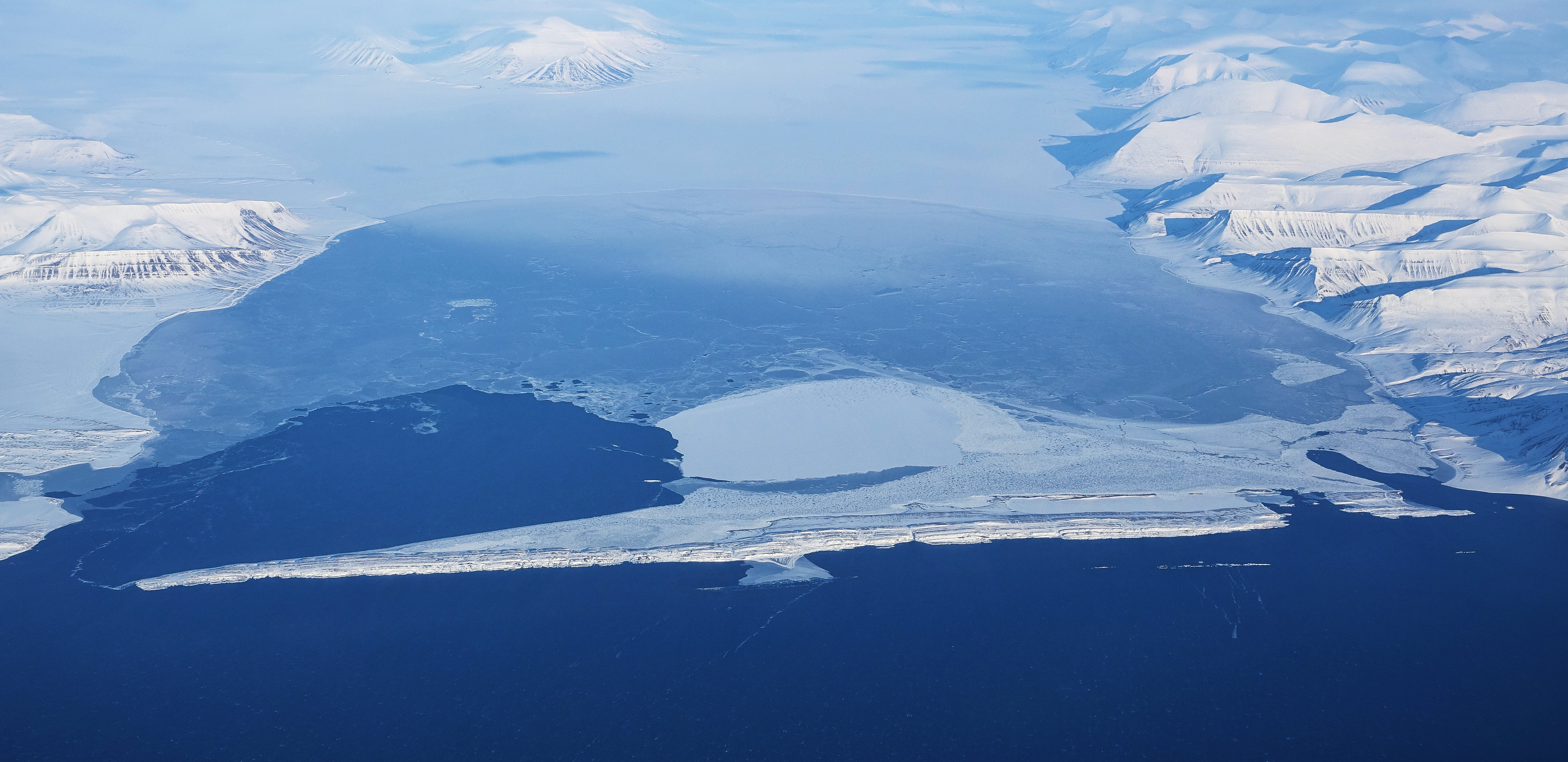
Akseløya (English: Axel Island) is a long, narrow island (about 8.5 km long and 1 km wide) at the mouth of Van Mijenfjorden, separating Van Mijenfjorden from Bellsund. It is separated from the mainland by Akselsundet to the north, and another narrow strait to the south. The islands are named after the schooner Aksel Thordsen, which was chartered by Adolf Erik Nordenskiöld for an expedition to Svalbard in 1864.[1][2]
 | |
| Location | Akseløya Svalbard Norway |
|---|---|
| Coordinates | 77°44′49.3″N 14°34′12.6″E |
| Tower | |
| Constructed | 1946 |
| Construction | metal skeletal tower |
| Height | 7 metres (23 ft) |
| Shape | square piramydal skeletal tower with enclosed upper part |
| Markings | black tower, red upper part |
| Power source | solar power |
| Light | |
| Focal height | 15 metres (49 ft) |
| Range | 8 nautical miles (15 km; 9.2 mi) |
| Characteristic | Fl W 5s. |
See also
- List of lighthouses in Svalbard
References
- Rowlett, Russ. "Lighthouses of Norway: Svalbard". The Lighthouse Directory. University of North Carolina at Chapel Hill. Retrieved 2016-09-06.
- List of Lights, Buoys and Fog Signals. Atlantic Coast Norway and Arctic Sea. Retrieved 6 September 2016
- Conway, W. M. 1906. No Man's Land: A History of Spitsbergen from Its Discovery in 1596 to the Beginning of the Scientific Exploration of the Country. Cambridge: At the University Press.
- Norwegian Polar Institute Place Names of Svalbard Database
This Svalbard location article is a stub. You can help Wikipedia by expanding it. |
На других языках
[de] Akseløya
Akseløya ist eine unbewohnte Insel im von Norwegen verwalteten Spitzbergen-Archipel.- [en] Akseløya
[fr] Akseløya
Akseløya est une petite île située à l'embouchure du fjord Van Mijenfjorden, sur la côte ouest du Spitzberg. L'île possède une superficie totale d'environ 10 kilomètres carrés avec un paysage relativement plat et de nombreux petits récifs autour.Текст в блоке "Читать" взят с сайта "Википедия" и доступен по лицензии Creative Commons Attribution-ShareAlike; в отдельных случаях могут действовать дополнительные условия.
Другой контент может иметь иную лицензию. Перед использованием материалов сайта WikiSort.org внимательно изучите правила лицензирования конкретных элементов наполнения сайта.
Другой контент может иметь иную лицензию. Перед использованием материалов сайта WikiSort.org внимательно изучите правила лицензирования конкретных элементов наполнения сайта.
2019-2026
WikiSort.org - проект по пересортировке и дополнению контента Википедии
WikiSort.org - проект по пересортировке и дополнению контента Википедии