fleet.wikisort.org - Lighthouse
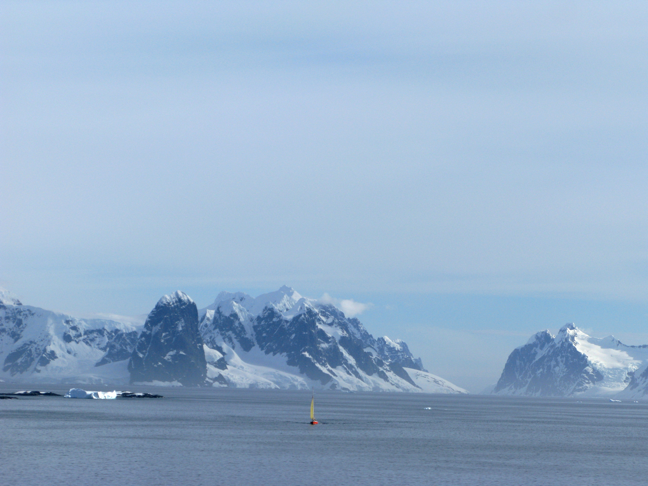
Cape Renard (65°1′15″S 63°46′12″W) is a cape forming the south side of the entrance to Flandres Bay and separating the Danco and Graham Coasts on the west coast of Antarctic Peninsula. Situated on the minor Renard Island just off the north extremity of Kyiv Peninsula, and surmounted by Una's Peaks. Discovered in 1898 by the Belgian Antarctic Expedition under Gerlache and named by him for Professor A. Renard, a member of the Belgica Commission and of the Belgian Royal Academy.
 | |
| Location | Cape Renard, Antarctica |
|---|---|
| Coordinates | 65°01′11″S 63°46′14″W |
| Tower | |
| Foundation | concrete base |
| Construction | fiber glass tower[1] |
| Height | 3 m (9.8 ft) |
| Shape | cyldrical tower with balcony and light[1] |
| Markings | white tower with red band[1] |
| Power source | solar power |
| Light | |
| Focal height | 7 m (23 ft) |
| Range | 5 nmi (9.3 km; 5.8 mi) |
| Characteristic | Fl W 10s |
Azufre Point lies about 3 miles (5 km) southeast.
Maps
- Antarctic Digital Database (ADD). Scale 1:250000 topographic map of Antarctica. Scientific Committee on Antarctic Research (SCAR). Since 1993, regularly upgraded and updated.
See also
- List of lighthouses in Antarctica
References
- List of Lights, Pub. 111: The West Coasts of North and South America (Excluding Continental U.S.A. and Hawaii), Australia, Tasmania, New Zealand, and the Islands of the North and South Pacific Oceans (PDF). List of Lights. United States National Geospatial-Intelligence Agency. 2017.
- Cape Renard. SCAR Composite Gazetteer of Antarctica
![]() This article incorporates public domain material from the United States Geological Survey document: "Cape Renard". (content from the Geographic Names Information System)
This article incorporates public domain material from the United States Geological Survey document: "Cape Renard". (content from the Geographic Names Information System)

| Authority control |
|
|---|
This Danco Coast location article is a stub. You can help Wikipedia by expanding it. |
Другой контент может иметь иную лицензию. Перед использованием материалов сайта WikiSort.org внимательно изучите правила лицензирования конкретных элементов наполнения сайта.
WikiSort.org - проект по пересортировке и дополнению контента Википедии